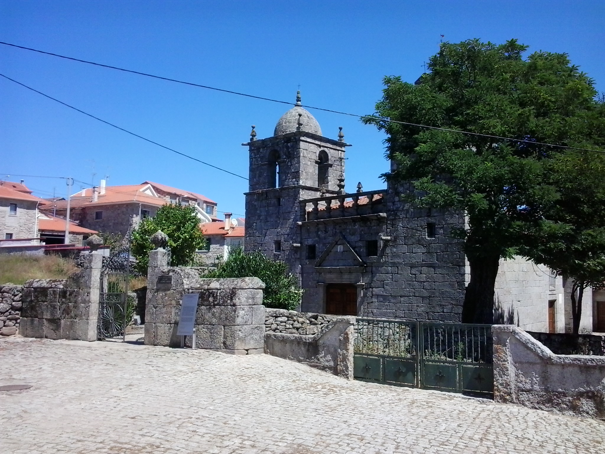
Vinhais
information
-
+351 273 770 309
This email address is being protected from spambots. You need JavaScript enabled to view it.
www.cm-vinhais.pt//centro-btt
N 41º 51,525' W 006º 59,261’
-
Car - Itinerary A4 Faro/Vinhais (distance - 762 km) (A2 Faro/Lisbon; A1- Lisbon/Porto; A4 Porto/Vila Real; A4 Vila Real/Mirandela (North exit); N315 Mirandela/Rebordelo; N103 Rebordelo/Vinhais) Lisboa / Vinhais (distance - 523 km) (A1 Lisboa/Porto; A4 Porto/Vila Real; A4 Vila Real/Mirandela (North exit); N315 Mirandela/Rebordelo; N103 Rebordelo/Vinhais)
Car - Itinerary Highway (to Chaves) Porto/Vinhais (distance -190 km) (Follow towards Porto. From Porto follow the signs towards Braga (A3) and after the toll turn towards Guimarães (A7) continuing on the same highway following the signs until Chaves (A24). At Chaves follow the Nacional 103 towards Vinhais.
Car - Other directions Madrid/Bragança and Bragança/Vinhais (A6/N.VI Madrid/Tordesillas; N122/E82 Tordesillas/Zamora/Alcañices; A4 Bragança; N103 Vinhais).
Valladolid / Bragança and Bragança/Vinhais (N620/E80 Valladolid/Tordesilhas; N122/E82 Tordesilhas/Zamora/Alcañices; A4 Bragança; N103 Vinhais)
Salamanca/Bragança and Bragança/Vinhais (N160 Salamanca/Zamora/Alcañices; A4 Bragança; N103 Vinhais) Vigo/Vinhais (A52- exit Pereiro/ A Mezquita; OR-311; A Mezquita OR-311; N1003; -
Daily from 09h00 to 20h00
location map
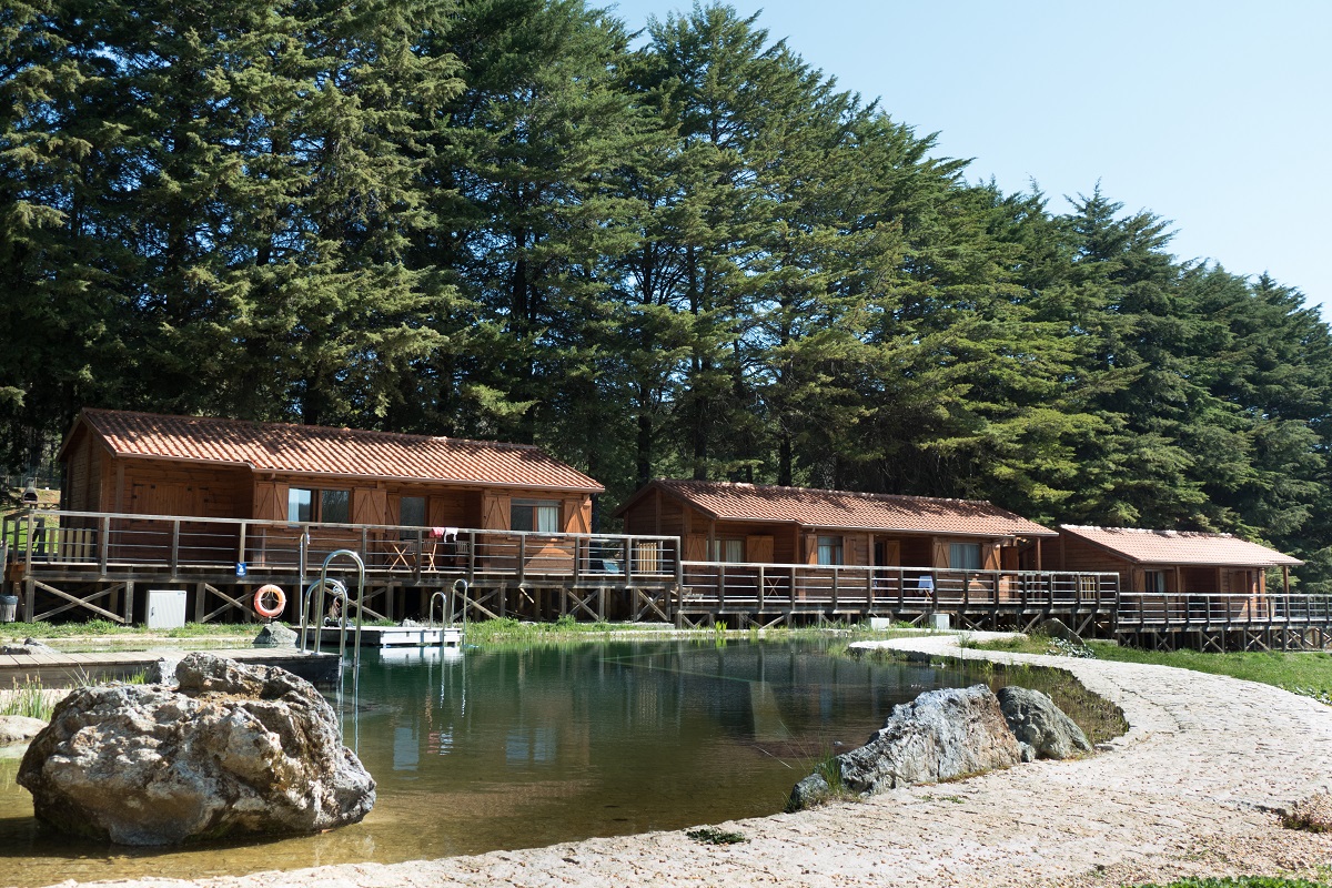
Services
map of routes
Routes
| p1 green |
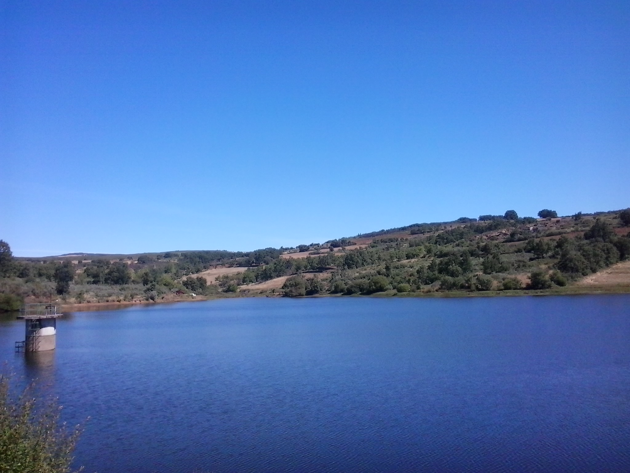
Circular trail, with start and end at the MTB Center (Biological Park). It has easy accessibility, regular and wide paths, it expands through the Montesinho Natural Park, around the Biological Park. It also passes by the observatories of the Charca de Vidoeira and Prada Dam.
Distance: 8,27 km / 5,13 mi
Time: 0h30 to 2h00
Climbing: 153 m / 501 ft
| p2 blue |
Circular trail, with start and end at the MTB Center (Biological Park). A moderate accessibility route, with regular and wide paths. It expands through the Montesinho Natural Park, around the Biological Park, passing by the observatory of the Prada Dam and the localities of Paçó and Prada.
Distance: 19,48 km / 12,10 mi
Time: 2h00 to 4h00
Climbing: 396 m / 1299 ft
| p3 red |
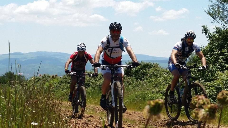
Circular trail, with start and end at the MTB Center (Biological Park). Accessible to practitioners with some experience, with regular paths. It has points of great interest, passing by the observatory of the Charca de Vidoeira and the Natural Park of Montesinho, until the Fraga dos Três Reinos, with passage through the Historical Village of Moimenta, the localities of Montouto, Travanca, Paçó and Prada.
Distance: 49,90 km / 28,58 mi
Time: 3h00 to 5h00
Climbing: 1118 m / 3667 ft
| p4 black |
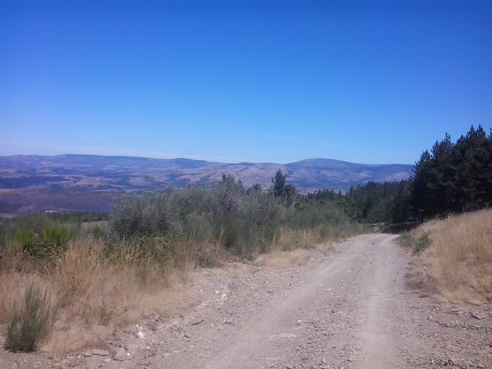
Circular trail, with start and end at the MTB Center (Biological Park). Accessible to practitioners with a lot of experience. It passes by the observatory of Charca de Vidoeira, following the Natural Park of Montesinho, with descent through the village of Vinhais, passing by the parishes of Sobreiró de Baixo/Alvaredos, Travanca, Paçó and Vila Verde.
Distance: 65 km / 40,38 mi
Time: 3h30 to 7h00
Climbing: 1547 m / 5075 ft
gallery


PARTNERS
institutional partners


FPC contacts
- Rua de Campolide, 237
1070-030 Lisboa - (+351) 213 802 140
- This email address is being protected from spambots. You need JavaScript enabled to view it.