Pampilhosa da Serra


information
-
40°05'29.7"N 7°51'00.6"W
-
The access from the coast is made by the IC8 from Pombal, taking the N2 in Pedrógão Grande and then the N344 to Pampilhosa da Serra. Alternatively you can leave from Castelo Branco, follow the N112 for 60 Km, then turn right on the N344 until the dam. A third access is made by Fundão, through the N238 until Orvalho (40 Km), then 15 Km along the N112 and finally 6 Km along the N344.
-
10h00 - 17h00
Location map
Services
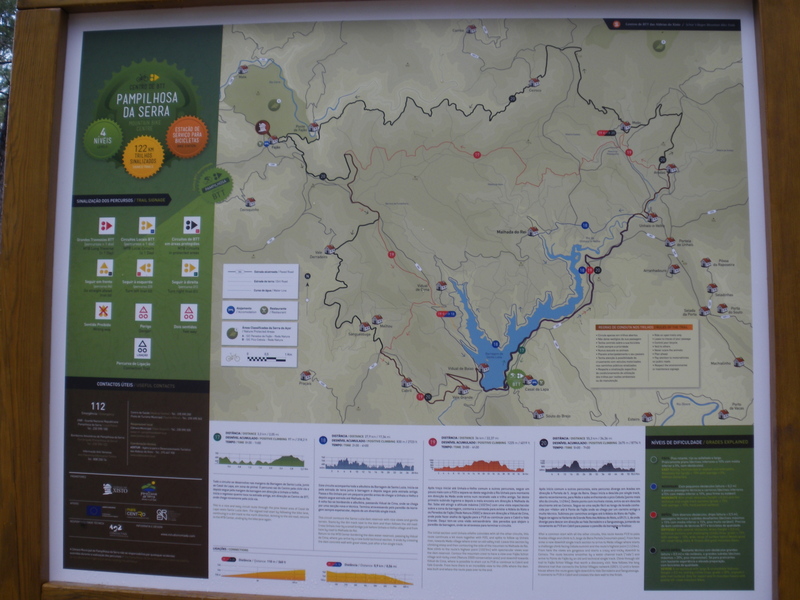
map of routes
routes
| p17 green |
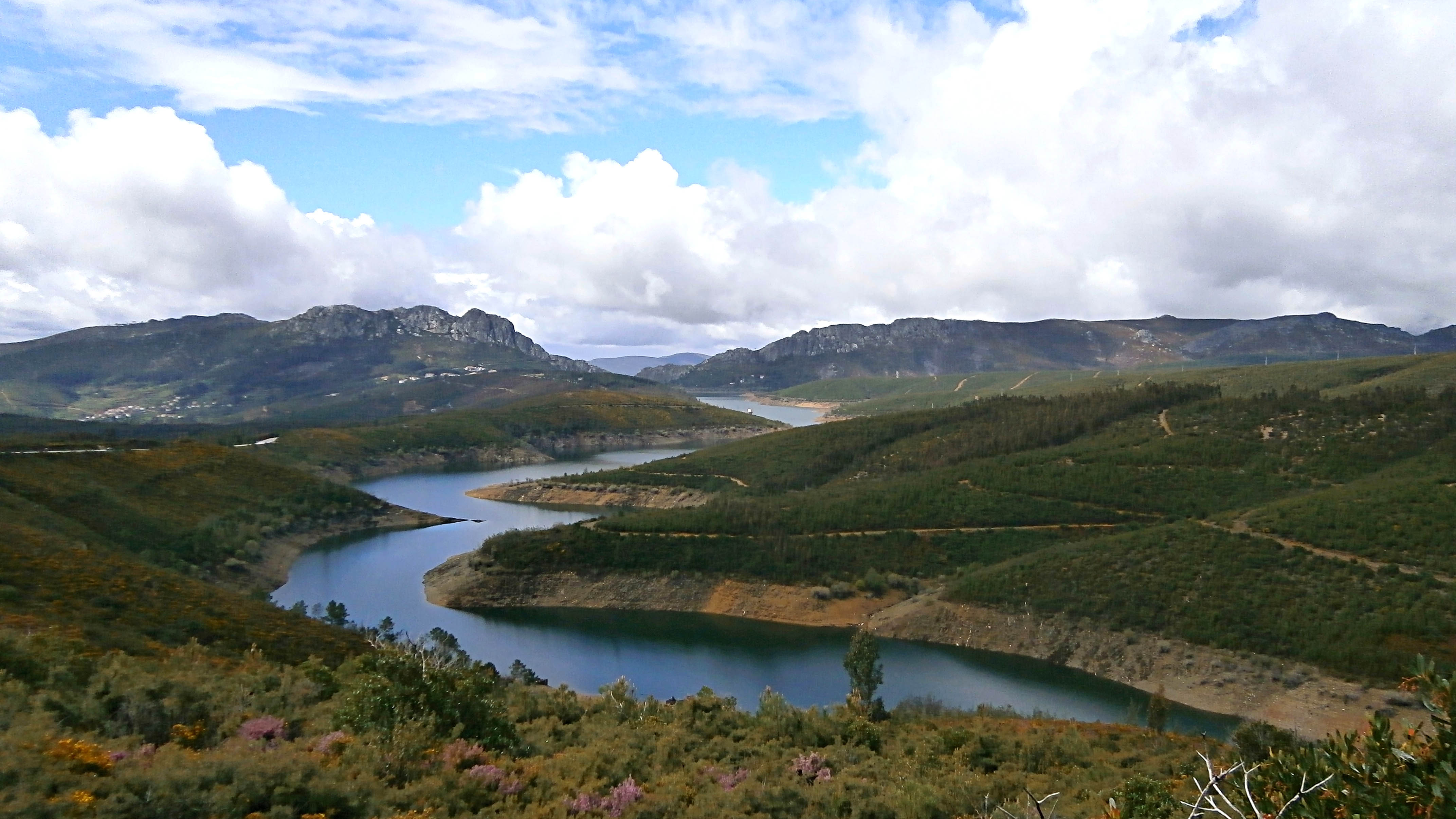
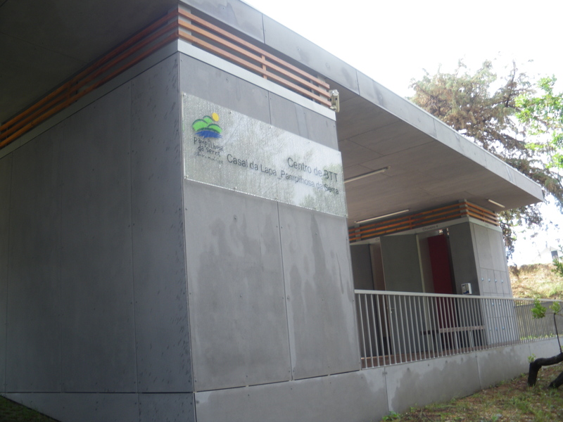
The entire circuit takes place on the banks of the Santa Lúzia Dam, next to Casal da Lapa, in a pine forest area. The trail leaves the Center through the cycle via and then follows the bank of the dam towards Unhais-o-Velho. The return starts when it touches the old road, towards the Center of MTB, where it arrives again by the cycle via.
Distance: 3,3 km / 2,05 mi
Time: 0h30 to 1h00
Climbing: 97 m / 318,2 ft
| p18 blue |
This circuit accompanies the whole dam of Santa Luzia. It starts on the dirt road near the dam and then follows the old road. It passes the Unhais River through a small pontoon before reaching Unhais-o-Velho and then follows the road until Malhada do Rei. The return is done bordering the reservoir, passing Vidual de Cima, where you arrive by a new and technical section. It ends by crossing the dam wall, always spectacular, after a fun single track.
Distance: 27,9 km / 17,34 mi
Time: 2h30 to 4h00
Climbing: 830 m / 2723 ft
| p19 red |
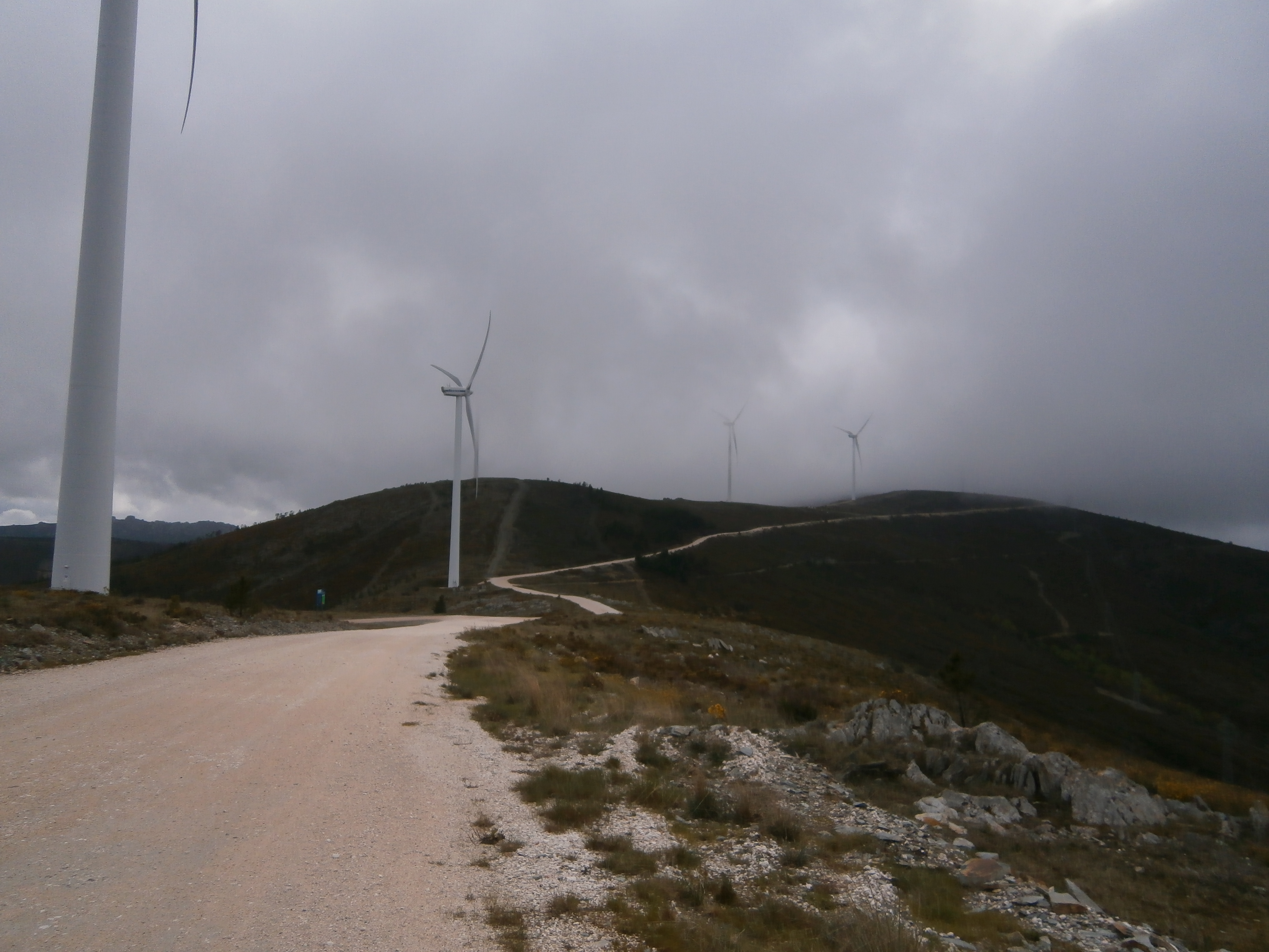
After the initial path to Unhais-o-Velho, common to other courses, it follows a little more with the P20 and separates from it following the Unhais River upstream towards the Meãs where it enters a quiet valley and old trail. After that, climb steep and then half way up towards Malhada do Rei. Climb until you reach the maximum altitude (1023m) with a spectacular view over the dam area, go around the ridge to see the Schist Village and the Penedos de Fajão (Natura 2000 Network) and descend towards Vidual de Cima, where you can take a shortcut to the P18 or continue to Cabril and Vale Grande. From here you have an extraordinary view of the rocks that host the dam wall, where you cross to finish the circuit.
Distance: 36 km / 22,37 mi
Time: 3h00 to 4h30
Climbing: 1225 m / 4019 ft
| p20 black |
After the beginning, common to other courses, this course diverts in Aradas, towards Portela de S. Jorge da Beira. From here starts the descent by single track, recently opened, to Meãs and climb facing the peak Cebola (highest point of the circuit, 1124m). From this point with incredible views, we go down to Ceiroco. An easy section follows along the stream known as "Vala" to Ponte de Fajão where one arrives by an old and very technical track. We go up by old paths to the Schist Village of Fajão. After, we follow the variant of the Great Schist Villages Route, the GR 21.1, from where we diverge to descend towards the Derradeiro Valley and the Sanguessuga, joining again the P19 in Cabril to pass the dam wall and finish.
Distance: 55,3 km / 34,36 mi
Time: 5h00 to 7h00
Climbing: 2675 m / 8776 ft
gallery

Programs by BookinXisto Partners
institutional partners


FPC contacts
- Rua de Campolide, 237
1070-030 Lisboa - (+351) 213 802 140
- This email address is being protected from spambots. You need JavaScript enabled to view it.